
More winter weather will hit Michiana Tuesday evening, Feb. 12, through Wednesday morning, Feb. 13.
WINTER WEATHER ADVISORY IN EFFECT FROM 7 PM EST /6 PM CST/
THIS EVENING TO 7 AM EST /6 AM CST/ WEDNESDAY...

* WHAT...Snow expected. Strong winds of 25 to 35 mph with gusts to
  45 mph also expected. Total snow accumulations of 1 to 3 inches
  possible. Due to the combination of snow and wind, a winter
  weather advisory is being issued for this area.

* WHERE...Portions of northern Indiana and southwest Michigan.

* WHEN...From 7 PM EST /6 PM CST/ this evening to 7 AM EST /6 AM
  CST/ Wednesday.

* ADDITIONAL DETAILS...Plan on slippery road conditions. Areas of
  blowing snow could significantly reduce visibility. Gusty winds
  could bring down small trees and tree branches, leading to
  additional power outages tonight.

PRECAUTIONARY/PREPAREDNESS ACTIONS...

A Winter Weather Advisory for snow means periods of snow will
cause primarily travel difficulties. Expect snow covered roads
and limited visibilities, and use caution while driving.
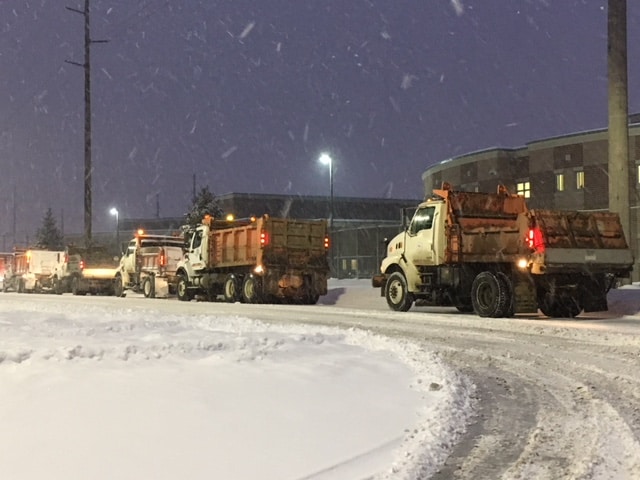
Steady light snow, a range of 1” to 3” in combination with already slick conditions and wind gusts up to 45 mph will continue to make travel hazardous.
Snow comes to an end Wednesday morning, blustery conditions will continue as temperatures struggle to reach 30. Temperatures take a swing upwards Thursday into the 40s as rain returns, changing back to snow Friday. Icing is less of a concern Friday morning as pavement temperatures will have warmed above freezing.
Your ABC 57 First Warning Neighborhood Weather Center Forecast:
Tuesday Night: Snow showers, low of 22.
Wednesday: AM lake effect snow, cold and breezy, high of 30.
Thursday: Mostly cloudy, rain likely by the evening, high of 44.
Friday: Morning snow showers, temperatures fall from 30.