
The National Weather Service is warning that multiple rounds of severe weather are expected to impact northeast Indiana over the next two days, with damaging winds serving as the primary threat.
According to the latest briefing from the National Weather Service Northern Indiana office, the region is under a “Slight Risk” (Level 2 of 5) for severe weather Monday and again Tuesday.
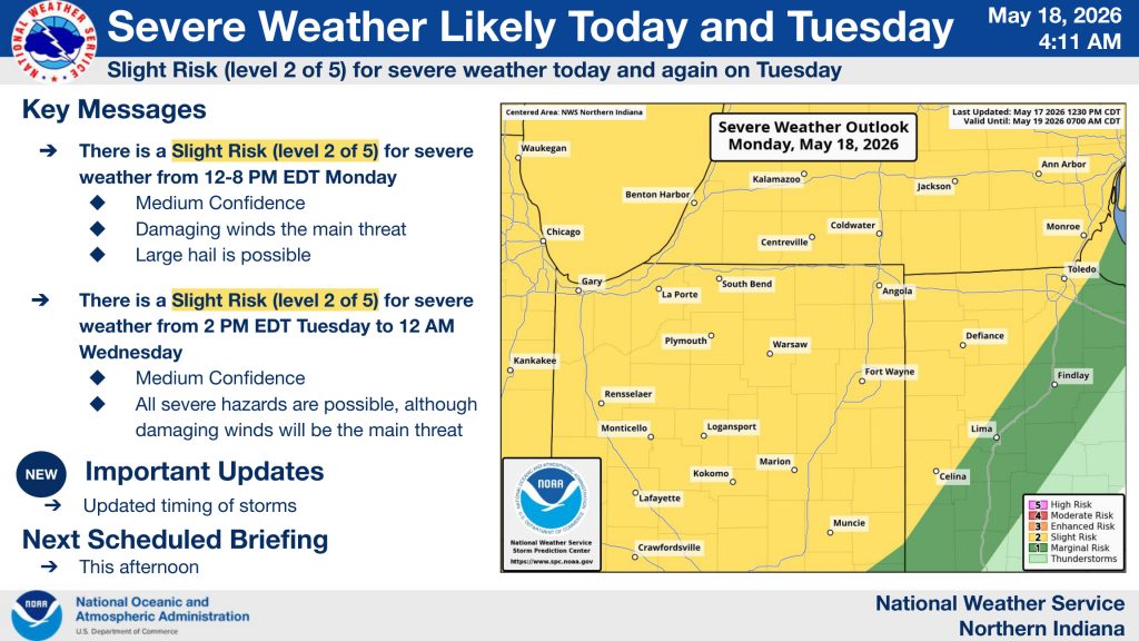
Forecasters say storms are expected to develop Monday afternoon and continue into the evening hours, with the highest risk window between noon and 8 p.m. EDT. Damaging wind gusts up to 60 mph are the main concern, though large hail and an isolated tornado cannot be ruled out.
The Weather Service says a line of storms is expected to move west to east across northern Indiana as activity strengthens after entering the area from Illinois. Confidence in severe weather potential is considered “medium.”
Another round of potentially severe storms is expected Tuesday ahead of a cold front. The greatest threat Tuesday is expected from 2 p.m. through midnight Wednesday morning.
Forecasters say all severe weather hazards are possible Tuesday, including damaging winds, hail, heavy rain, and isolated tornadoes, although wind remains the primary concern.
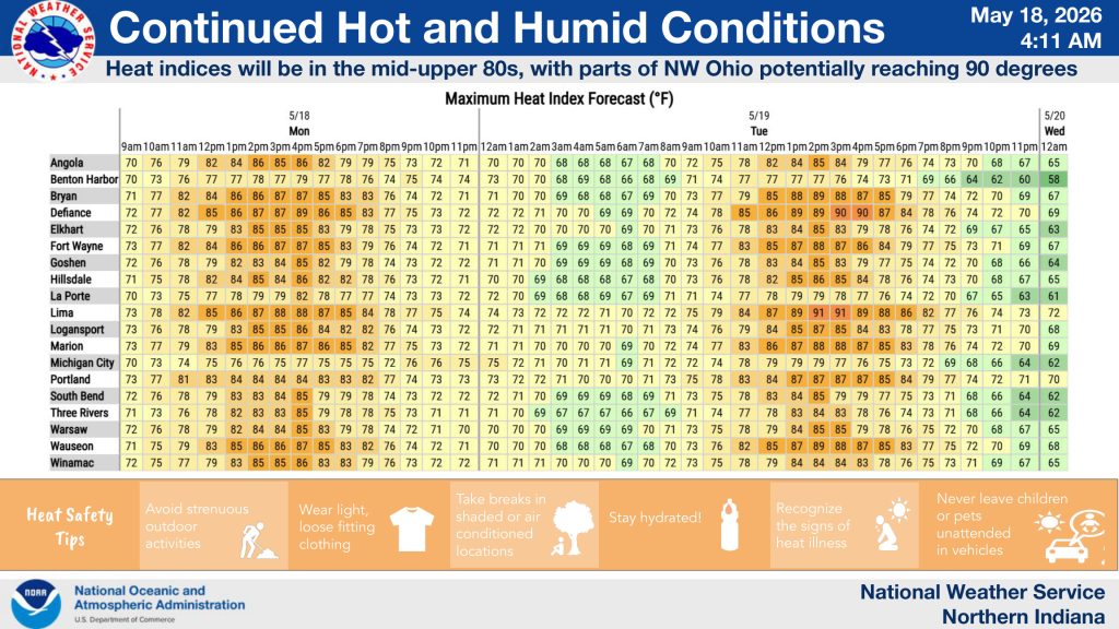
In addition to the storm threat, hot and humid conditions are expected across the area. Heat index values could climb into the mid-to-upper 80s across northeast Indiana, with portions of northwest Ohio potentially nearing 90 degrees.
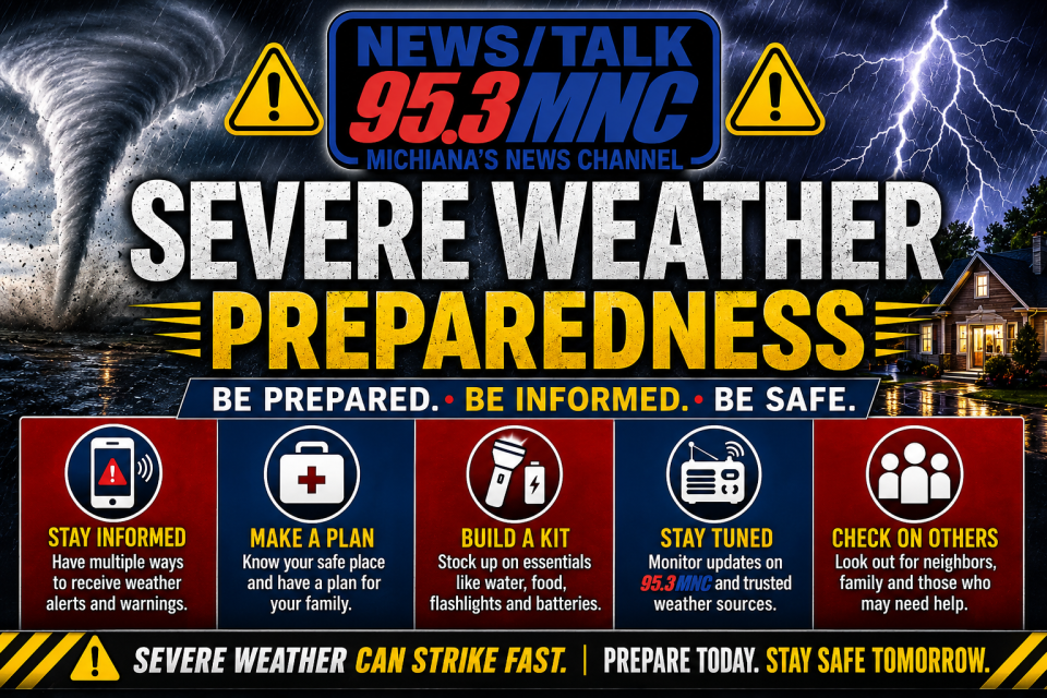
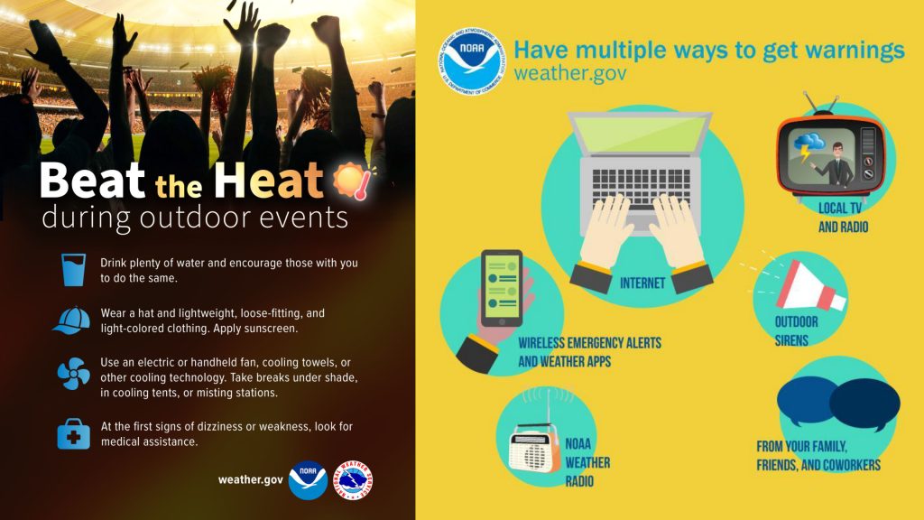
The National Weather Service urges residents to have multiple ways to receive weather warnings, including weather apps, NOAA Weather Radio, local media, and Wireless Emergency Alerts.
Officials also recommend limiting strenuous outdoor activity during peak heat, staying hydrated, wearing lightweight clothing, and never leaving children or pets unattended in vehicles.
95.3 MNC will continue to monitor the forecast and provide updates as watches and warnings are issued. For severe weather text alerts text NEWS or WEATHER to 574-259-5953.