
More than 11,000 Indiana Michigan Power customers, mainly in South Bend and St. Joseph County, were left without electricity after a line of severe thunderstorms blew through Michiana on Saturday, May 23.
Severe Thunderstorm Warnings were issued for portions of LaPorte, St. Joseph and Elkhart Counties in the 7 – 9 p.m. hours.
The line of storms boasted wind speeds around 60 m.p.h. and dumped heavy rain on the area.
Structure damage, downed trees and tree limbs were reported.
A second line of storms that resulted in Severe Thunderstorm Warnings in LaPorte and Starke counties moved through Michiana during the 9 p.m. – 11 p.m. hours. That line of storms also boasts winds topping 60 m.p.h.
The National Weather Service also issued a Tornado Watch for several northwest Indiana counties, including Cass, Fulton, LaPorte, Marshall, Miami, Pulaski, St. Joseph, Starke and White. Berrien County in Michigan was also under the Tornado Watch which was in effect until 10 p.m.
953 MNC will continue to provide updates as they become available.
You can find more weather details here.
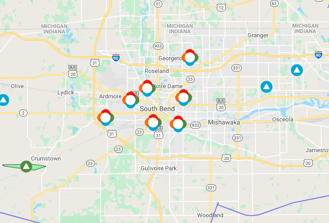
Follow Indiana Michigan Power outages here.
Some pretty crazy storm damage for a 20 minute storm in South Bend! Trees are down and hundreds are without power.
We’ll have extensive coverage for you tracking the potential threat of more severe weather tonight on @ABC57News at 10 and 11.
⛈📸: Traci Winston pic.twitter.com/5Km1p727SV
— Tiffany Salameh TV (@tiffanysalameh) May 24, 2020
@DaveCaulfield_ @ABC57News western mishawaka near river park pic.twitter.com/zzUiaH6yXz
— Jenn Zellers 📚 📝 (@jlzellers) May 24, 2020
@DaveCaulfield_ @ABC57News Grove St and Benton in Mishawaka pic.twitter.com/vfefyMSzJ2
— Jenn Zellers 📚 📝 (@jlzellers) May 24, 2020
@ABC57News @DaveCaulfield_ Mishawaka Avenue between Benton & Webster in Mishawaka pic.twitter.com/J92Bg28Inm
— Jenn Zellers 📚 📝 (@jlzellers) May 24, 2020
Severe Thunderstorm Warning continues for South Bend IN, Elkhart IN, Mishawaka IN until 8:30 PM EDT pic.twitter.com/FIEqb4RudK
— NWS Northern Indiana (@NWSIWX) May 23, 2020
[825 pm 5/23/2020 update] Isolated thunderstorms continue to move across northern Indiana into southern Michigan. Main threats will be heavy rain with minor flooding and gusty winds to 50 mph. Stronger storms can’t be ruled out, but storms should weaken over the next few hours. pic.twitter.com/Y4BYSn8Czl
— NWS Northern Indiana (@NWSIWX) May 24, 2020