

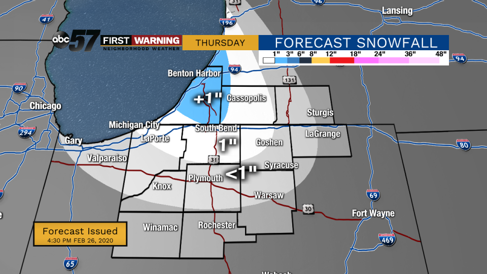
(Tom Coomes/ABC 57 Chief Meteorologist) System snow moves out tonight, but lake effect snow will start around midnight and last into the morning on Thursday, Feb. 27. Around an inch of additional snow is possible.
Thursday will be another wintry day with temperatures in the 20s, breezy winds, and more snow.
Most of the lake effect snow will finish by Thursday morning, but a few flurries are possible into Friday morning.
Heading into the weekend, skies will be dry and there is a possibility for some sunshine on Saturday.
Temperatures Friday and Saturday remain chilly, but by Sunday, temperatures will be back in the 40s. Another system, mostly rain, is here early next week.
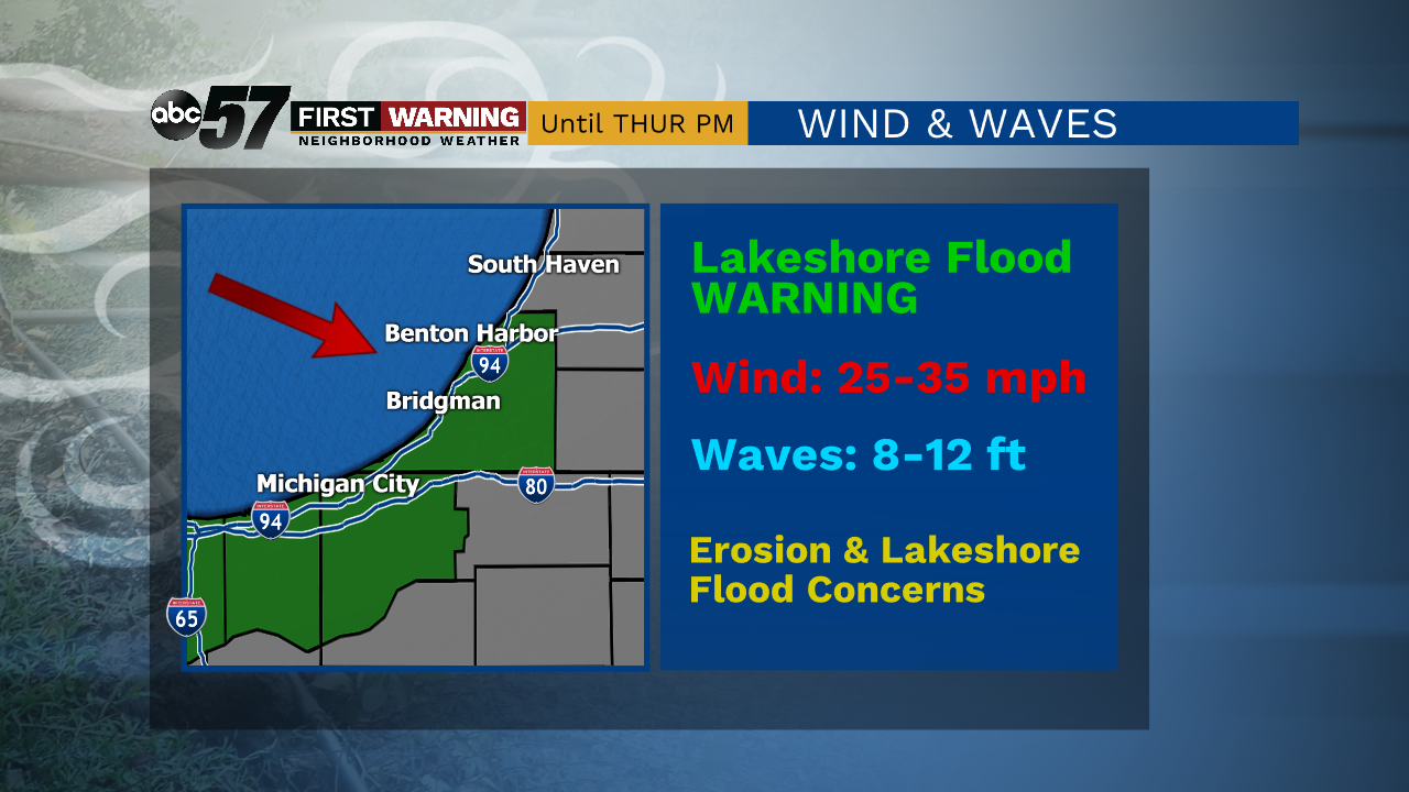
Wind through Thursday afternoon will produce large waves and continued shoreline erosion.
Your ABC 57 First Warning Neighborhood Weather Center Forecast:
Thursday: Lake effect snow showers and breezy. High 26.
Friday: AM flurries, then mostly cloudy day. High 25.
Saturday: Partly cloudy skies. High 30.

1 comment
I’m surprised Paul doesn’t have some dumbass conspiracy theory comment about how the liberals and Obama are to blame.