
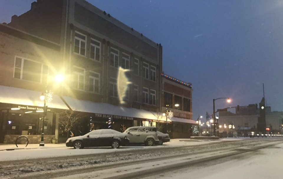
Lake effect snow showers will taper down this morning, but they’ve already made roads slick, so drivers are advised to allow an extra 5 to 10 minutes driving time.
Clouds will start to break up this afternoon south of US-30 with just a couple peeks of sunshine north.
A wintry mix moves in on Thursday, first as light snow but could change over to freezing rain.
While most of the system moves out, freezing drizzle will still be possible on Friday morning. The rest of the day is quieter before scattered rain showers move in Saturday. Temperatures will warm up along with highs reaching into the upper 40s.
Wednesday: AM lake effect snow, mostly to partly cloudy, high of 28.
Wednesday Night: Cloudy, snow possible late, low of 22.
Thursday: Cloudy, wintry mix possible, high of 35.
Friday: Mostly cloudy, high of 40.