
The work week starts quiet with plenty of sunshine to return by this afternoon, but clouds will build back in for Tuesday.
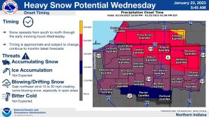
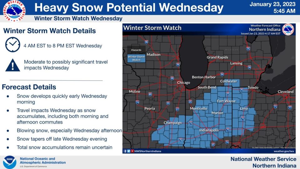
Snow showers make their way into Michiana on Tuesday night before widespread accumulating snow moves in Tuesday night and into Wednesday. This will be our next big weather maker with a high potential for travel impacts.
The National Weather Service says if you have travel plans at midweek to make sure to watch for slick spots, keep extra distance between your car and others on the road, and give yourself extra time to drive.
National Weather Service Northern Indiana
348 AM EST Mon Jan 23 2023

WINTER STORM WATCH IN EFFECT FROM LATE TUESDAY NIGHT THROUGH
WEDNESDAY EVENING FOR ELKHART, LAGRANGE, KOSCIUSKO, MARSHALL AND MANY MORE
COUNTIES TO THE SOUTH AND NORTHEAST OF MICHIANA.
* WHAT...Heavy snow accumulations of 5 to 8 inches possible.

* WHERE...Portions of northern Indiana, southwest Michigan and
  northwest Ohio.

* WHEN...From late Tuesday night through Wednesday evening.

* IMPACTS...Travel could be very difficult. The hazardous
  conditions will likely impact the morning and evening commutes.

* ADDITIONAL DETAILS...Snow will overspread the area early
  Wednesday morning and likely be accompanied by areas of blowing
  and drifting snow by afternoon causing reduced visibilities.
Your ABC 57 First Warning Neighborhood Weather Center Forecast:
Monday: Morning clouds, Afternoon sun. High 35.
Tuesday: Cloudy. High 35.
Wednesday: Snow likely. Cloudy, with a high near 33.
Thursday: A chance of snow. Cloudy, with a high near 32.
Friday: A chance of rain and snow. Cloudy, with a high near 33.
Saturday: A slight chance of snow. Mostly cloudy, with a high near 32.
A developing winter storm system will impact the region on Wed. Overall strength of the system remains uncertain at this time, but there remains at least a low potential for significant winter weather condition with moderate to heavy snow. pic.twitter.com/BdwAcI9SwE
— NWS Northern Indiana (@NWSIWX) January 22, 2023