
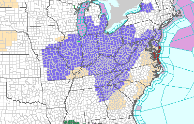
(ABC 57 Meteorologist Alex Countee) The entire state of Indiana and all of lower Michigan has been placed under a Winter Weather Advisory by the National Weather Service.
Some freezing rain may mix in with light snow farther south by the end of Sunday, but most of us will see the freezing rain and snow combo tonight.
Freezing rain, sleet, and snow are all possible overnight into Monday morning, making for a messy drive into work all around.
By the early afternoon, everything should be dry again. Light ice accumulations and a widespread 1”-3” of new snow is expected.
Some scattered power outages could be possible in Michiana as well.
Temperatures warm rapidly over the next few days. We’ll hit highs in the 40’s both Wednesday and Thursday as a new system brings rain chances. Also, be prepared for fog during these days, with all the snow melt and moisture in the area. Highs fall back below freezing on Friday, which brings the snow and lake-effect snow chances back.
Snow, sleet, and freezing rain are all possible tonight, creating a potential problem on the roads tomorrow! Be sure to give yourself plenty of time to get to work tomorrow morning! See what else we could expect this week, right here. https://t.co/LjsDFsAtmK
— Alex Countee (@alexcabc57) January 7, 2018
Your ABC 57 First Warning Neighborhood Weather Center Forecast:
Monday: Cloudy with wintry mix/snow ending by the early afternoon. High of 34.
Tuesday: Partly sunny. Highs in the low 30s.
From the National Weather Service of Northern Indiana:

The Winter Weather Advisory includes the cities of
Michigan City, La Porte, South Bend, Mishawaka, New Carlisle,
Walkerton, Elkhart, Goshen, Nappanee,
Knox, North Judson, Bass Lake, Plymouth, Bremen, Culver, Warsaw,
Winona Lake, Syracuse, Mentone, Niles, Benton Harbor, St. Joseph,
Fair Plain, Benton Heights, Buchanan, Paw Paw Lake, Dowagiac,
Cassopolis, and Marcellus

* WHAT...Mixed precipitation expected. Plan on slippery road
  conditions, including during the morning commute on Monday.
  Total snow accumulations of 2 to 3 inches and ice
  accumulations of a light glaze are expected.

* WHERE...Portions of northern Indiana and southwest Michigan.

* WHEN...From 9 PM EST Sunday evening to 9 AM EST Monday.

* ADDITIONAL DETAILS...Be prepared for reduced visibilities at
  times.

PRECAUTIONARY/PREPAREDNESS ACTIONS...

A Winter Weather Advisory means that periods of snow, sleet or
freezing rain will cause travel difficulties. Be prepared for
slippery roads and limited visibilities, and use caution while
driving.