
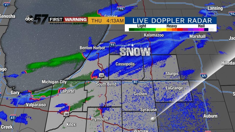
(Tyler Sebree/ABC 57) A few lake effect snow showers are possible thru early Thursday, Nov. 7, across parts of Berrien County and LaPorte County. Otherwise it’s mostly cloudy and very cold in the mid-30s. A few lake effect snow showers are possible again tonight into Friday morning with highs on Friday once again in the 30s.
A moderation in temperatures is on the way for the weekend with highs in the lower 40s. It will be a dry weekend.
An arctic cold front will push through Sunday night, allowing the coldest air of the season by far to push in by Monday. Highs next week will range from the mid-20s to the lower 30s with overnight lows in the teens most nights.
Lake effect snow is looking likely both Monday and Tuesday with accumulation expected depending on where the snow bands set up.
Your ABC 57 First Warning Neighborhood Weather Center Forecast
Thursday: Mostly cloudy, early day lake effect snow showers possible. High of 34.
Thursday night: Mostly cloudy with a slight chance of lake effect snow showers. Low of 24.
Friday: Mostly cloudy with a few peaks of sun later in the day. High of 34.
Saturday: Partly cloudy. High of 42.