
Northern LaPorte and St. Joseph, Southwest and Central Berrien counties looks to be the bullseye of greatest snow potential. Travel impact could last through the morning drive Thursday.
Light lake effect snow showers continue Thursday and Friday, with accumulation near the state line and throughout southwest and western Michigan into the weekend. The cold will be an issue for everyone this weekend with highs in the 20s and lows in the teens. The forecast warm next week, with rain likely on Thanksgiving.
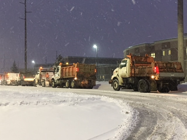
National Weather Service Northern Indiana
109 AM EST Thu Nov 17 2022

WINTER STORM WARNING REMAINS IN EFFECT UNTIL 10 AM EST /9 AM
CST/ THIS MORNING...

* WHAT...Heavy, wet lake effect snow. Additional snow
  accumulations of 1 to 4 inches. Isolated total accumulation of
  12 to 15 inches, highest in Berrien County Michigan.

* WHERE...Portions of northern Indiana and southwest Michigan.

* WHEN...Until 10 AM EST /9 AM CST/ this morning.

* IMPACTS...Plan on slippery road conditions. The hazardous
  conditions could impact the morning commute.
Your ABC 57 First Warning Neighborhood Weather Center Forecast:
Thursday: Lake Effect Snow. High 32.
Friday: Lake Effect Snow. High 28.
Saturday: Mostly cloudy. High 28.