
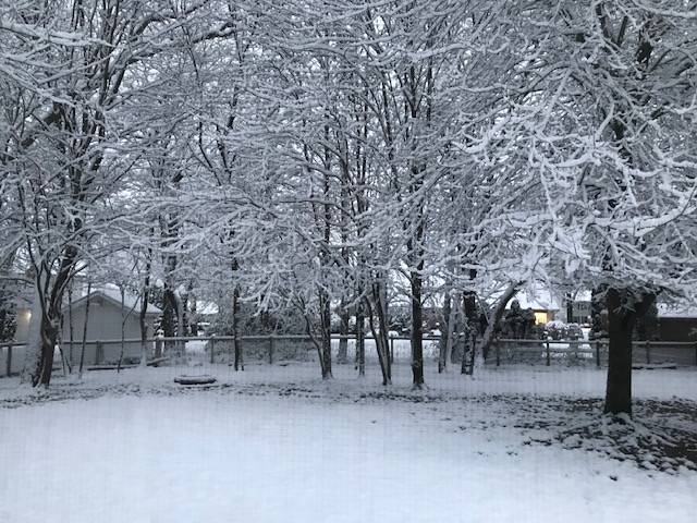
The bulk of the snow from Halloween has moved out of the area early this Wednesday morning, Nov. 1, although a few lake effect flurries are possible. These should taper off later in the morning.
Roads are not very snowy, but could be slick in spots.
This afternoon is cool in the low 40s, but may be just warm enough for snow in the grass to begin melting.
Temps dip below freezing in the low 30s, on Wednesday night, so any of the melted snow might refreeze creating slick roads Thursday morning.
Temperatures continue to warm into the upper 40s, Thursday, then mid 50s Friday through the weekend.
It is a dry until Sunday, when rain showers move back into the area. Don’t forget we will “fall back” one hour on Sunday morning.
Wednesday: Few AM snow showers. Clouds early with sun late. High 42.
Wednesday Night: Partly cloudy. Low 30.
Thursday: Mostly sunny. High 48.
Friday: Partly cloudy and warmer. High 54.
1 comment
Back in 50s and 60s for weekend! Gotta love Indiana weather.