
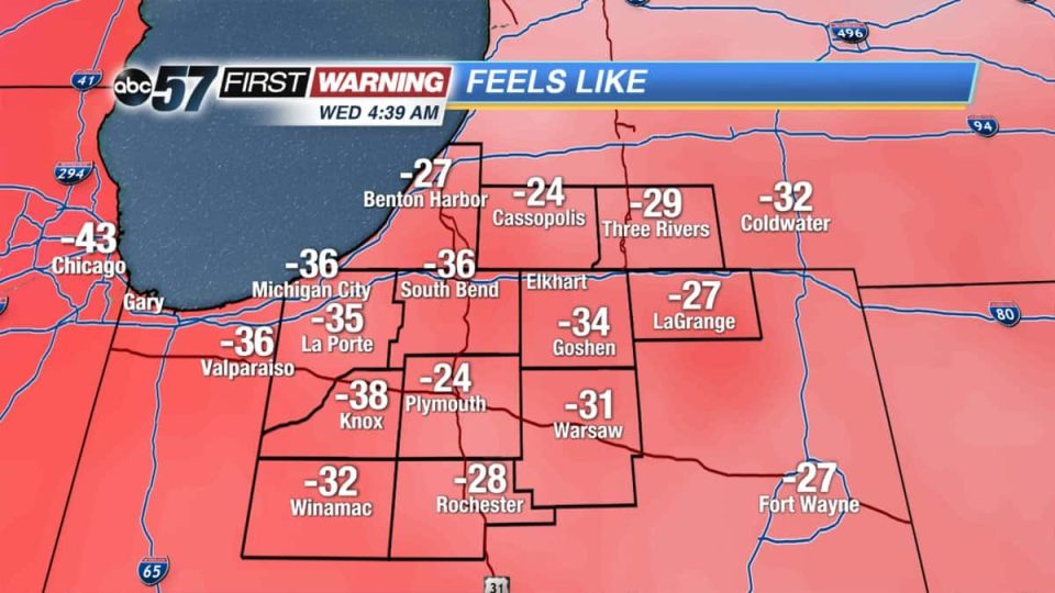
The morning of Thursday, Jan. 31 is another incredibly cold one with temperatures near -20 F.
Temperatures slowly warm through the day, reaching near zero by midnight and continuing to warm through the night.
A quick system will bring us 1-3” of snow starting late this evening lasting through Friday morning.
Roads will likely be slick in spots. Daytime highs finally reach near 20F (above zero).
Friday and only continues to warm up over the weekend. Part of the Saturday will be partly cloudy but with the melting snow, fog will be possible through Monday. Scattered rain showers continues to melt the snow on Sunday and Monday. Minor flooding is likely.
Your ABC 57 First Warning Neighborhood Weather Center Forecast:
Today: Extreme Cold. Mostly sunny, warming towards zero by midnight.
Tonight: Scattered light snow, temperatures warming from -2.
Friday: AM snow showers, high of 20.
Saturday: Partly cloudy, fog possible, high of 40.