
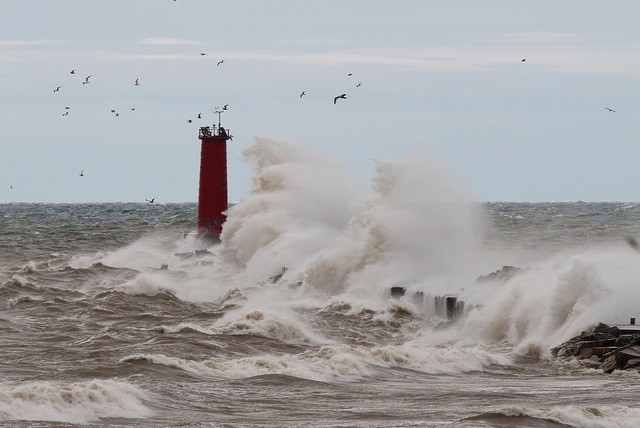
Residents along the Berrien County Lake Shore have been given new flood plain maps for the first time in 30 years.
The last time the area flood plains were drawn was during an Army Corps of engineer assessment in 1988. The past few years beach erosion and flooding has become a serious issue. FEMA took questions from residents at the Benton Harbor Library on Tuesday.
Specialists tell ABC 57 News that outright homeowners who find themselves suddenly inside the flood plains don’t necessarily have to purchase new insurance, but those with mortgages likely will.