
(National Weather Service of Northern Indiana) A supercell developed near Kankakee, IL during the evening of Tuesday, March 10.
There was a sharp gradient in temperatures in northern Indiana and northern Illinois due to a lake breeze coming off of Lake Michigan. This supercell formed in the warm sector and was well south of a warm front anchored near the Indiana-Michigan stateline. Because the supercell was on its own, it was unimpeded and able to tap into a favorable environment. It moved through far northeast Illinois and into northwest Indiana, creating a continuous path of large hail and tornado damage.
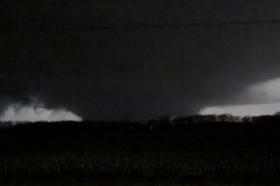
This supercell then entered the Michiana forecast area in Starke County and continued to produce damage through the western portion of the county. The tornado was caught on video by several chasers in the area and prompted a Tornado Emergency to be issued as it moved closer to Knox, IN. This was the 3rd Tornado Emergency issued by NWS Northern Indiana and the first since one was issued on May 7, 2024 for Union City, MI in Branch County.
A NWS storm survey has confirmed an EF-2 tornado in Starke County, IN west of Knox. This tornado is associated with the same parent supercell that spawned the Kankakee, IL-Lake Village, IN EF-3 tornado and the Wheatfield, IN EF-1 tornado on the evening of March 10th.
- Starke County EF-2 Tornado Public Information Statement
Behind the initial discrete supercell, a line of showers and strong to severe storms developed and moved through the area in the early morning hours of Wednesday, March 11, ahead of a powerful cold front. Numerous showers and embedded storms with training continued through the morning of the 11th, prompting a few Flood Advisories and Flash Flood Warnings to be issued as well. Rainfall amounts ranged from 1-3″, with locally higher amounts up to 4-5″.