
We are calm and comfortable for Friday morning, June 20. Skies are clear and sunny. Temperatures at least start out cool and in the 60s. We will warm up quite a bit though into the lower to middle 80s for highs this afternoon. There is an isolated chance of a shower in the afternoon. A complex of storms off to our west will start to weaken and the remnants of it will produce some cloudy skies and the potential for a few brief rain showers right in the middle of the day. These will clear out this evening.
Tonight will stay warm. Lows drop to 70 with partly cloudy.
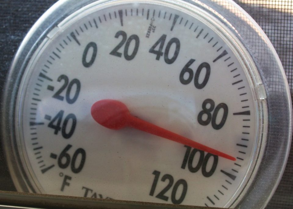
Serious heat is on the way after that. Highs will be up to near 90 Saturday and 93 on Sunday. High humidity will create heat index values will be near 100 starting Saturday and continue into next week.
EXTREME HEAT WATCH REMAINS IN EFFECT FROM SATURDAY MORNING
THROUGH TUESDAY EVENING...

* WHAT...Dangerously hot conditions with heat index values between
  95 and 106 possible. The hottest conditions are expected on Sunday
  and Monday.

* WHERE...Portions of northern Indiana, southwest Michigan, and
  northwest Ohio.

* WHEN...From Saturday morning through Tuesday evening.

* IMPACTS...Heat related illnesses increase significantly during
  extreme heat and high humidity events.

* ADDITIONAL DETAILS...Consecutive days of excessive heat and
  humidity combined with very warm low temperatures in the 70s can
  be especially hazardous for vulnerable populations as the
  overnight hours provide little relief from the heat.