
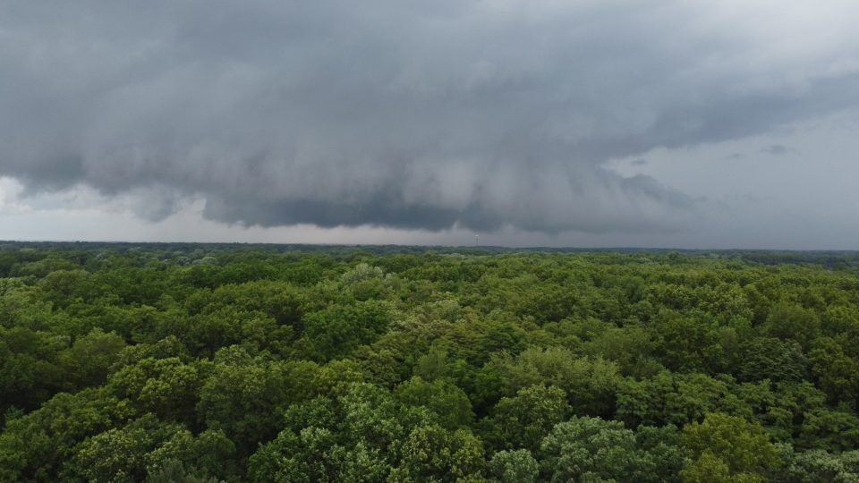
Strong thunderstorms swept across much of Indiana on Wednesday, June 17, bringing the threat of tornadoes, damaging winds, and torrential rainfall as a cold front moved through the state. However, the threat of severe weather stayed well south of Michiana.
Forecasters had warned residents throughout the day that conditions were favorable for severe weather, particularly during the evening hours.
The National Weather Service issued multiple severe thunderstorm and tornado warnings in central Indiana as storms intensified.
Several communities locally, including South Bend and Elkhart reported heavy rainfall that led to localized flooding of low-lying roads and poor visibility for drivers. Rainfall rates exceeded one inch per hour in some locations, causing water to pond on streets and highways.
In the middle part of the state, damage reports continued to be collected on Wednesday night, where officials said strong wind gusts appeared to be the primary threat in many areas. Storm survey teams were expected to evaluate any locations where tornadoes may have touched down.
The severe weather was triggered by a cold front moving across the region, interacting with warm, humid air that had built up over Indiana during the day.
Conditions are expected to improve following the passage of the front, with cooler temperatures and lower humidity arriving later in the week. Forecasters said Thursday would bring mostly cloudy skies and a few scattered showers, while drier weather is expected heading into the weekend.
The next chance for considerable rain for Michiana will be on Sunday.